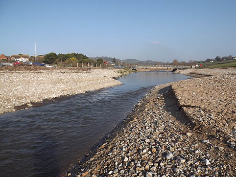
Charmouth Foreshore and River SY366.931
Site description: Coastal foreshore and river bank exposure.Difficult to see unless beach shingle is stripped away.
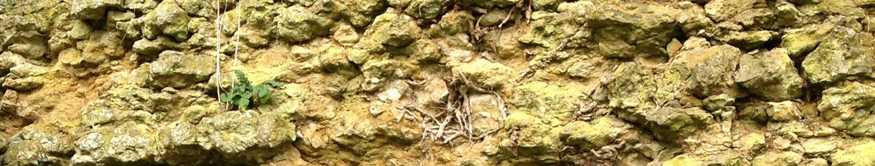
Geology: Holocene, submerged forest. Exposed in the very base of the banks of the river Char and beneath beach shingle on the sea front down to the low tide mark. It consists of blue/grey clay full of twigs, bark and branches, mainly of birch, hazel and ash. Hazel nuts and seeds are common, remains of vertebrates including elephant and red deer have been recorded. Rests on Lower Lias clays.
Reference: Wilson V et al, 1958: Geology of the country around Bridport & Yeovil. Geological Survey of Great Britain.
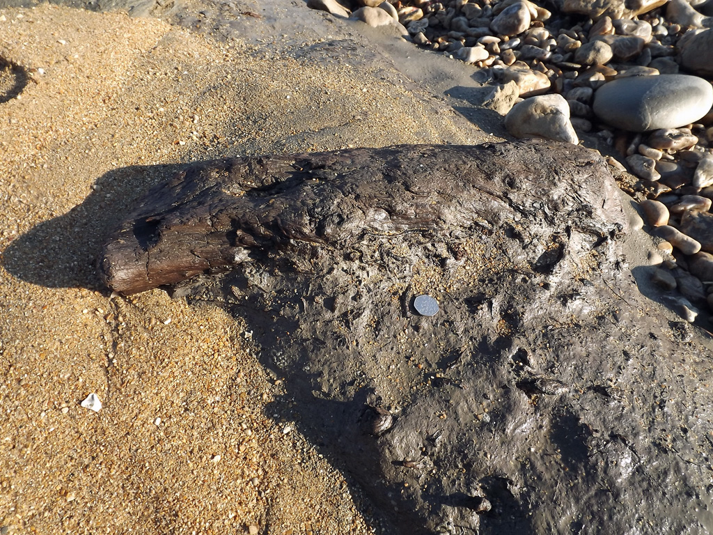
A recent stripping of the beach revealed wood and bone, including Red Deer antler (with man made cut marks) and sheep bones which have been dated as mediaeval. Clearly the river has brought material down to the mouth many times.
Access: Via seafront esplanade. Parties please notify Heritage Centre.
Parking: Parish Council seafront pay car park and summer seasonal car parks.
Education level: All levels.
Size of party: Organised, disciplined and manageable sized parties (1 staff to 10 student ratio).
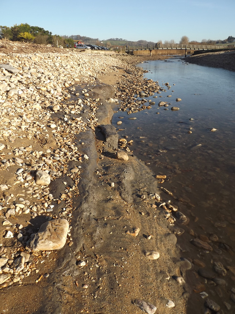
Restrictions/constraints on site: Only exposed at extreme low water and/or after the beach has been scoured by storms when the best exposures are usually directly in front of the seafront building. It is also exposed when heavy rain scours the river banks above the footbridge and where it flows through the beach to the sea. (Small exposure can usually be seen year round in the eastern river bank above the footbridge).
A busy seasonal beach, with seasonal restrictions on dogs accessing beach. No digging or removal of in-situ material from the foreshore or river banks.